
As rain has deluged our parched state since New Year’s Eve, many Californians have found themselves asking a familiar question: Is this somehow because of El Niño?
In the California imagination, the climate pattern known as El Niño has an almost mythological status as a harbinger of prolonged wet spells, while its counterpart, La Niña, is associated with drought. The past three years have been La Niña years.
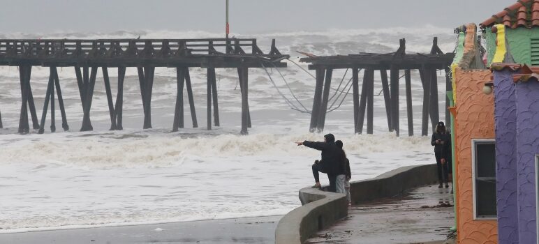
The continuing procession of storms this winter has drawn comparisons to the famed wet winter of 1997-98, when rain driven by El Niño drenched the Golden State. Californians are bracing for one of the season’s most intense storms to date on Monday and Tuesday.
But Daniel L. Swain, a climate scientist at the University of California, Los Angeles, said that El Niño hasn’t taken over — yet.
“As much as it walks and talks like El Niño, it ain’t,” he said of this winter’s pattern. “We still have La Niña conditions, despite rumors of its demise.”
Even so, long-range forecasts suggest that California will transition into El Niño in the autumn.
So how does this all work? How do we know if El Niño has taken over?
Swain explained, simplifying a bit, that El Niño is essentially one side of a pendulum swing and La Niña is the other. During El Niño, trade winds are weaker, and warm water in the Pacific sloshes toward the western coasts of North America and South America. During La Niña, stronger trade winds push warm water in the other direction, toward the coast of Asia. Ocean temperatures affect the weather.
This dynamic means that the effects of El Niño and La Niña vary in different parts of the world. In parts of the western Pacific, like Indonesia, for example, El Niño tends to produce drier conditions, rather than rain.
In California, the relationship between wet years and El Niño depends on the strength of the pattern, and to some degree on chance. In other words, an El Niño year loads the dice in favor of a wet year, but does not guarantee one
The latest heavy storms and flooding remind Jan Null, a meteorologist and former lead forecaster for the National Weather Service, of the winter of 2016-17, which was also a La Niña year.
“Every El Niño is not wet, and every La Niña is not dry,” Null said.
Complex advanced predictive tools are showing that by next summer or fall, El Niño will probably be in place, and this time the pattern could be “a pretty strong one,” Swain said. That could bode well for California and the West’s water outlook.
“All of it is fascinating, and also humbling,” he said. “We’re literally predicting the future.”
Jill Cowan is a reporter with The New York Times. California Today, copyright, The New York Times.
Literally, it has rained for consecutive days in multiple weeks. In most places, this wouldn’t be considered a “storm.” It would be considered….rain. The sad part is, CA always seems so unprepared – and if you look at the 87, massive chunks of the road are missing, and we’ve seen some flooding. Not because of the “storm” but because of neglected infrastructure and total lack of preparation. For example, San Fran, couldn’t even offer households more than 3 sand bags at the height of the rain.
So, to me, this is more about being prepared than anything else. Many of the states issues derive from unkept roads and infrastructure and lack of preparation. Par for the course in CA, especially the Bay.